

I decided to take my new Backcountry skidoo for another test drive out on the land on April 9. It was the Easter long weekend and I wanted to get out of the house. The skidoo had been repaired just two days prior, but I had faith the new bolt in the left shock would hold. However, I decided to limit the distance by travelling as far as the Nanisivik Naval Facility. If something should go wrong, I could walk back to town along a skidoo trail or following the Nansivik Road.

I packed the same amount of supplies I took on April 7, but wore Canada Goose outer clothing instead of camouflage. I also wore a helmet to protect my head & face from frostbite.
I
removed the right-side panel of the skidoo to expose the muffler to cold air,
thereby preventing overheating. I
attached a 12-litre gas can to the back of my skidoo in case I needed to refuel. I also carried a bottle of oil in my
backpack.


My daytrip began at 10:30am. I drove north towards Victor Bay because I wanted to check out an iceberg. Several coworkers had mentioned this frozen natural landmark and I wanted to see what all the excitement was about. The iceberg was a lot smaller than the one I saw two days ago. The visible parts had similar shapes and it was easy to stand on one of them. I walked around the iceberg a few times and took pictures. I hopped on my skidoo and continued driving north.

I crossed Victor Bay and reached Graveyard Point. I stopped and photographed the point while the sun shined brightly in the clear blue sky. There was no one around. The frozen landscape was desolate, quiet, and majestic.


The drive to Nanisivik from Graveyard Point took about 40 minutes. The ice & snow was rough the first half of the journey, then gradually smoothed out. I looked in all directions, looking for hungry polar bears, sunbathing seals, and prowling Inuit hunters. There were none. There were only me, my thoughts, and the continuous drone of the skidoo engine. I followed a skidoo path of a previous traveller but then created my own. The previous traveller’s trail had suddenly turned around. I wasn’t worried about creating my own trail because I’ve travelled in Strathcona Sound several times already.


The Nanisivik Naval Facility (NNF) slowly came into view, the buildings and two large fuel tanks taking shape. I stopped in front of the NNF and turned off the skidoo engine. Dead silence enveloped me. I stretched my legs and photographed my skidoo with the facility in the background. I photographed the skidoo trail I created from Graveyard Point, started up my machine, and drove off the ice.

I entered the deserted NNF and looked around to see if anything had changed since my last visit. Nope. Nothing. I took several more photographs, rested for a bit, and let the skidoo engine cool down. I headed home after 20 minutes.


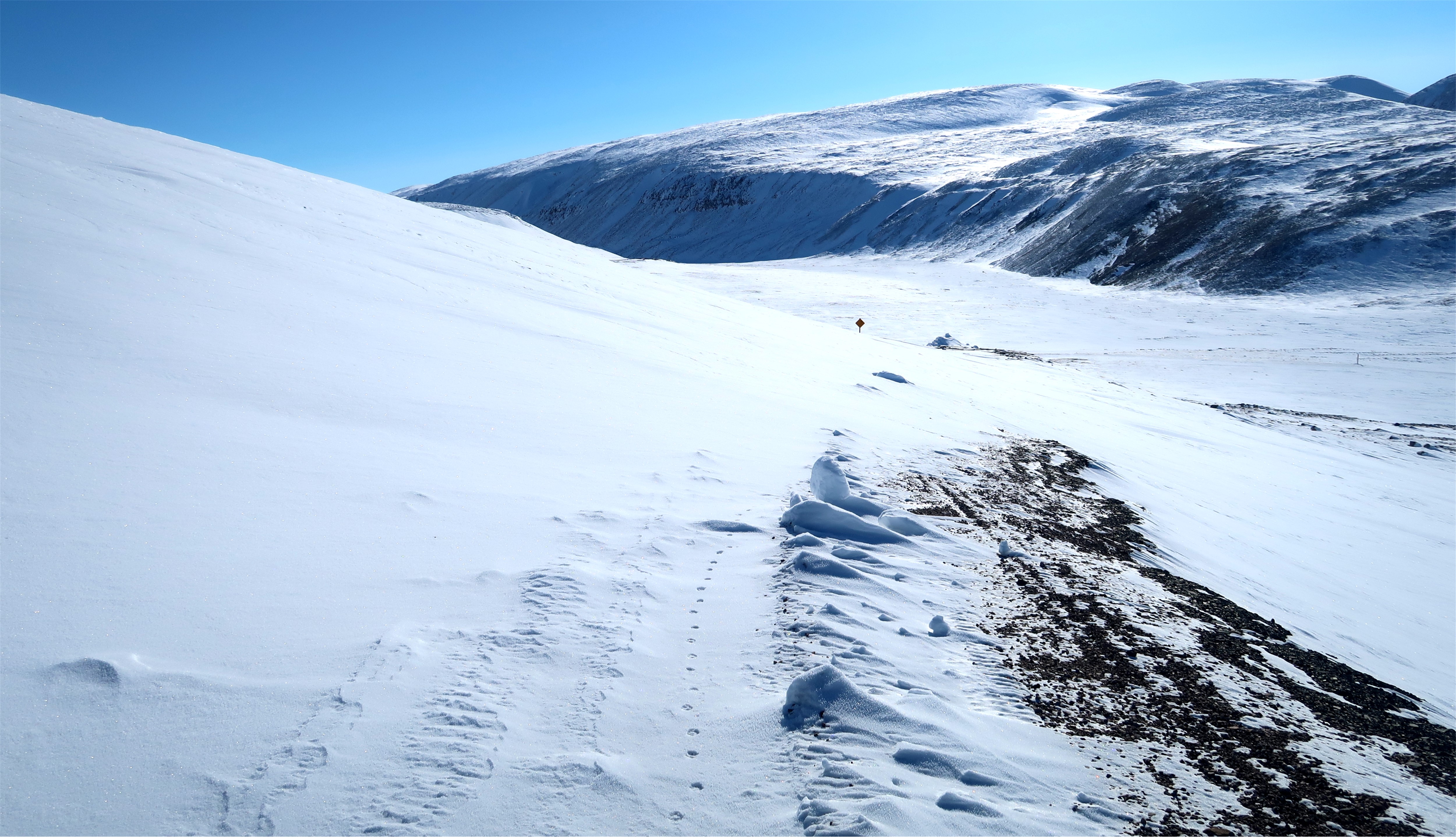
I followed the road that snaked its way up a hill. Unfortunately, there wasn’t a lot of snow, so I had to drive over many small rocks. I apologized to my skidoo, behaving like a stereotypical Canadian. There was more snow on the main road when I reached the former town site, enabling me to increase my speed. I photographed the T-intersection and then turned right towards Arctic Bay. If I continued driving forward, I would have ended up at the old Nanisivik Airport.
I
drove where the snow was the thickest so my skis wouldn’t get damaged. This forced me to alternate between driving
on the road and on the land next to it.
Even though I was driving at a high altitude I still looked around for
hungry polar bears. Better safe than
sorry. Eventually the road descended and
curved around a tall hill. The Second
Bridge came into view at the bottom of a large valley.

I stopped in front of a large snow drift that covered a section of the road. The Road to Nanisivik isn’t plowed during winter so this probably happens a lot. I inspected the snow drift and decided to drive halfway across it and then down towards the Second Bridge over open terrain. I hopped back on my skidoo and put my plan into action. It worked.


I drove across the Second Bridge and followed the main road for quite a while, passing the No Alcohol liquor signs, and arriving at the right-hand curve before the First Bridge. I decided to turn left and drive down to a large enclosed frozen lake. From here, I could drive much faster, hop across a short stretch of land, and then drive onto the frozen bay that’s also called Arctic Bay. The community was in full view, and I drove straight towards it. I did stop to get a good wide landscape photo for this blog post. I was home by 3:00pm.
My
Backcountry skidoo survived its second on the land trip without difficulty. I got to see the Nanisivik Naval Facility again
and spend some time outside. I’m now
looking into buying additional parts for my machine, such as, a skid plate,
extra seat, larger windshield, and rearview mirrors. These additions will increase the skidoo’s longevity
and make me a safer rider.

No comments:
Post a Comment